
.svg)


Enhanced Connectivity: Use Kestrel Insights’ Automated Polygon Geofencing Within Samsara
Enhanced Connectivity: Use Kestrel Insights’ Automated Polygon Geofencing Within Samsara
.svg)

Geofences exactly where you need them – in your EXISTING tools.
.svg)
.svg)


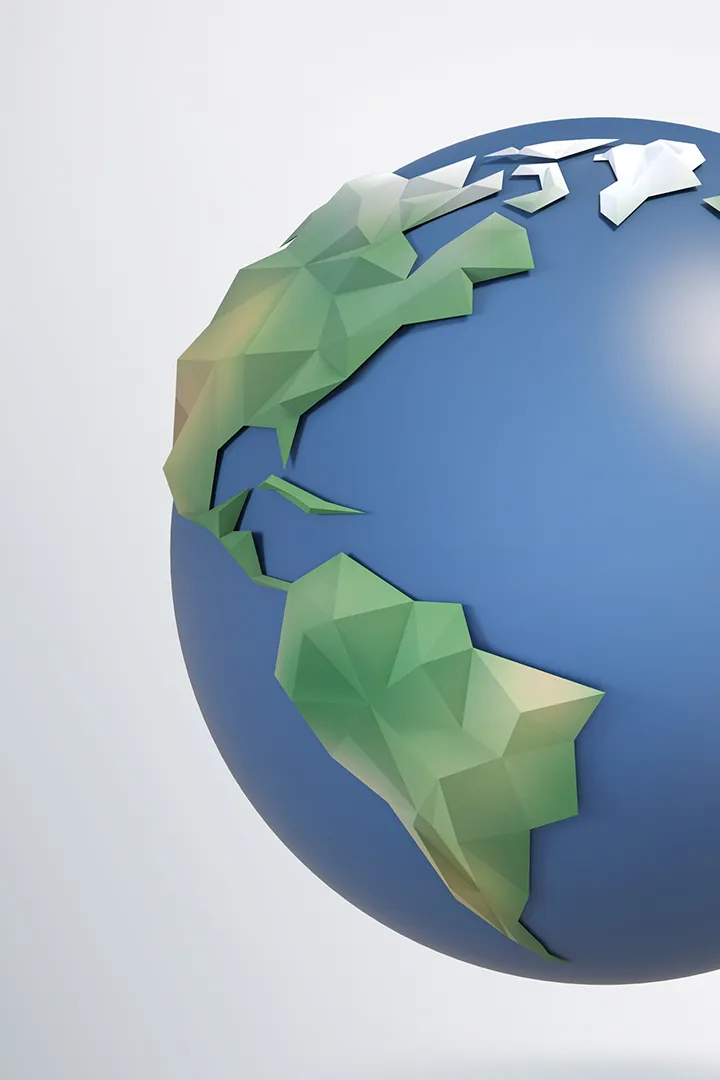
All nodes of the supply chain.
.svg)
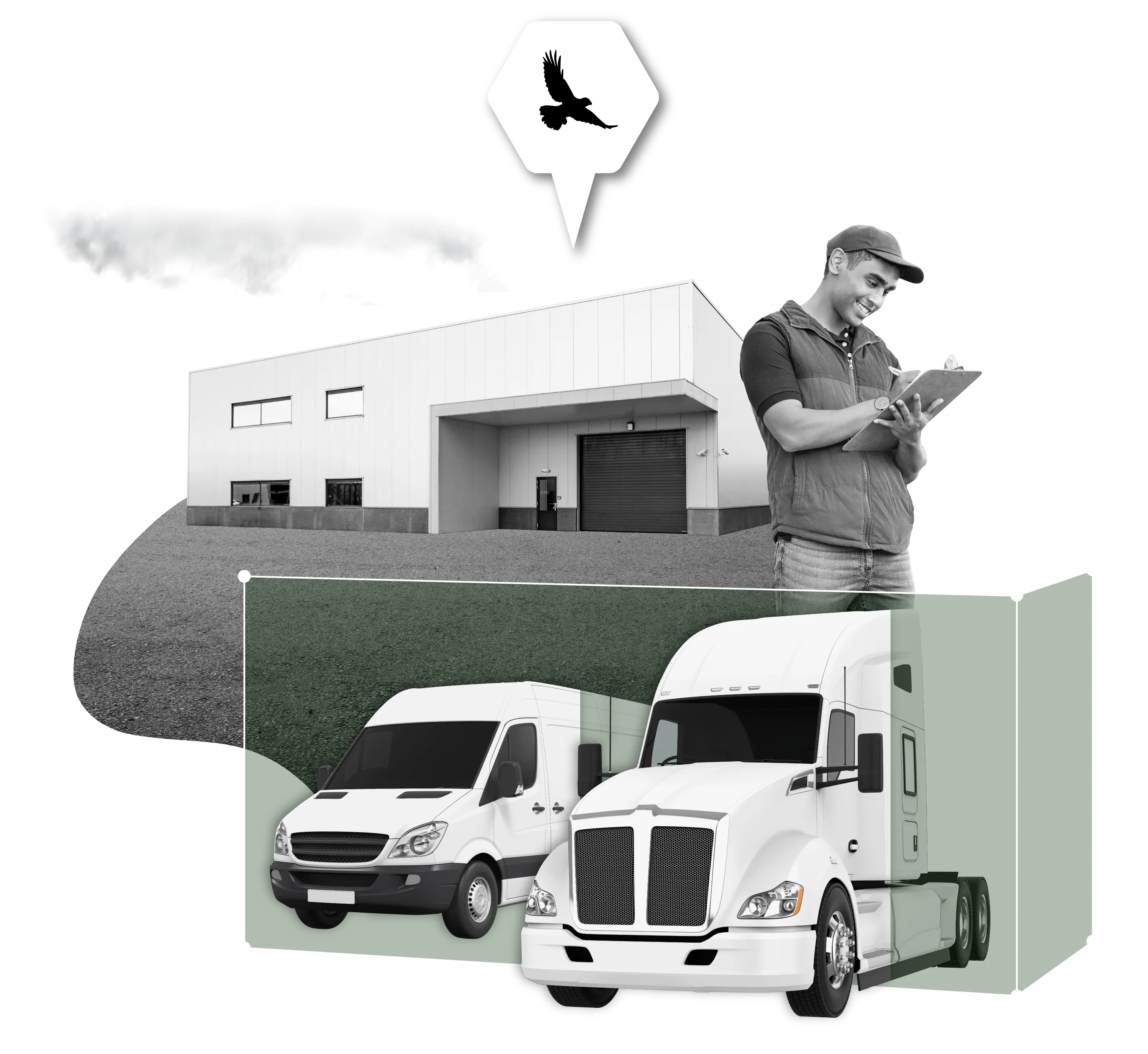
Carriers / Freight
Gain valuable insight, control, and operational efficiencies for your asset-based operations
Learn More
Revolutionize your location-based tracking with Kestrel Insights' automated geofencing technology. Say goodbye to manual efforts as our advanced solution provides precise boundaries effortlessly. Experience access to the most accurate data, transforming your applications with automation.
Embrace the efficiency of automated geofencing and unlock scalability you didn't know was possible.


Polygon geofences excel in mimicking real-world geography by closely mirroring actual physical boundaries such as buildings, streets, or property lines. Stop relying on inaccurate circles.
Unlock the power of consistency with our cutting-edge geofencing technology. Data standardization isn't just a necessity, it's our lifeblood.
Say goodbye to compatibility woes and hello to a world where your geofencing data speaks the same language across ALL platforms in the supply chain.


In a data-driven landscape, pre-built geofencing integrations lighten the technical load. Integrations with telematics & visibility platforms provide you with insights without the need for a tech-heavy approach.
It's about getting the information you need – without drowning in the technical nitty-gritty.

Whether you're building something in-house or looking for plug-and-play integrations, Kestrel has the flexibility, and know-how to serve any polygon geofencing use case.
Turnkey Integrations
Powerful pre-built integrations with the leading telematics platforms.
Learn More.svg)
.svg)
Polygon geofences offer distinct advantages over their circular counterparts. Unlike circular geofences, which are limited to a single shape, polygons allow for the creation of complex boundaries with irregular shapes and exclusion zones. This precision enables finer control over triggering events based on geographic criteria while simultaneously mitigating false signals.
Increased accuracy & precision
Backend data you can trust!
Coverage & Scalability
Automatically created via address
.svg)
.svg)
.svg)


